
Motorcycle Day Trips from Cebu City: The Balamban Loop, Not the Viewpoint
The best day ride out of Cebu City is a loop, not an out-and-back. Climb the Transcentral to Balamban, drop to the west coast, and come home through Toledo or Naga. It is roughly 120 kilometers, it takes a morning and an afternoon, and it puts three completely different versions of this island in one day.
Tops and the Temple of Leah are twenty minutes from Lahug and they are not a day trip. They are a viewpoint on the way to one.
The numbers, from the LGU
The Municipality of Balamban publishes the three routes into town, which makes this the rare Cebu ride where the distances are official rather than estimated.
- Via the Transcentral Highway: 49 km, about 1 hour 20 minutes in a light vehicle.
- Via Toledo and Manipis Road: 68 km, about 2 hours 2 minutes.
- Via Naga and Uling Road: 73 km, about 2 hours 18 minutes.
So the full loop out on the Transcentral and back through Manipis is about 117 kilometers. Out on the Transcentral and back through Uling is about 122. Those totals are arithmetic on the LGU’s own figures rather than separately measured, and the times assume a car behaving itself.

The climb: Cebu City to Balamban
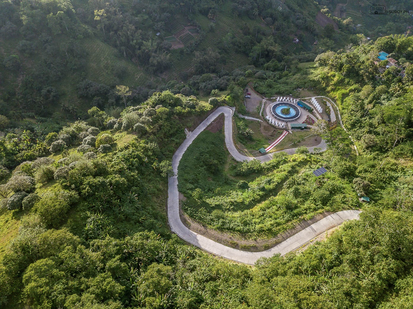
National Route 815, two lanes, continuous curves, up through Busay and over the spine of the island through the Central Cebu Protected Landscape. Balamban’s highest peak, Mount Manunggal, is 1,003 meters, and the interior mountains run to around 900. The road does not summit either, and no official figure exists for the highway’s own high point.
The riding is the reason people come. So is the temperature drop, which is real and catches people out in a t-shirt.
The current hazard is between Barangays Cansomoroy and Gaas. That slope has been shedding material since Typhoon Tino in November 2025, with LGU advisories in December 2025 and February 2026 and a blocking landslide on 16 May 2026 that DPWH cleared the same day. Rain is the trigger. After a wet night, take a different route or a different day. The night assessment of this road has the emergency numbers and the full advisory history.

Where to stop
Gaas in Balamban is where the mountain cafe cluster sits, and it is worth saying up front that every published set of hours for these places dates from 2021 and none of them is open early or late.
In Gaas: EVO Nature Camp, listed 7am to 8pm daily. Adventure Cafe, listed 7am to 7pm daily. Hole in the Wall Burgers, weekends only, listed 8am to 7pm.
On the Busay side of the climb: Crate Cafe, listed 11am to 10pm on weekdays and from 7am at weekends. Serenity Mountain Cafe in Malubog, 11:30am to 9pm. Charlie’s Cup in Tabunan, 8:30am to 6:30pm. Lakeview Le Jardin in Sitio Inaad, Tabunan, 8am to 7pm.
Also on the Balamban side and named without hours: JVR Island in the Sky, West 35 Eco Mountain Resort, Baguio de Cebu Eco Mountain Adventures. Those entrance figures that circulate, ₱50 and ₱80, come from a 2017 guide and are nine years old.
Call ahead or accept the gamble. Half of these are family operations and a wet Tuesday is not a trading day.

Fuel, and the thing nobody says
There is no confirmed fuel station on the mountain section of this loop. Not on the Transcentral climb, not in Gaas, and nothing published for Balamban town. We went looking for an oil company or LGU source and found none.
The only station near this loop we can confirm as 24 hours is Shell Talamban, in the city.
Fill up before you leave Cebu City. On a scooter that is not a suggestion, it is the plan.
The way home
Toledo and Manipis Road is the shorter return and the more scenic, and it is the one that closes. The most recent documented event was 12 December 2025, just after 5am, at the Camp 6 area in Barangay Manipis, Talisay City: eight to ten dump truck loads of soil, boulders and debris off the slope, the section shut for clearing. No rain fell that day. The rain that softened it had fallen earlier. Manipis has a long history of exactly this.
When Manipis closes, the traffic authorities themselves point riders at Uling.
Naga and Uling Road is part of National Route 81, a 71 kilometer east-west route running Naga to Toledo to Pinamungahan to Aloguinsan and ending at Barangay Mantalongon in Barili. Longer, less dramatic, more reliable. No published pavement condition rating exists for either road, so ride them as you find them.
Riding it well
- Leave by six. The climb is cool, the light is good, and you are ahead of the vans.
- Full tank, city side. Twice, because it bears repeating.
- A layer. Nine hundred meters in Cebu is cold at 6am and you will not believe that until you are in it.
- Rain gear from June to October. Habagat weather on this ridge arrives sideways.
- Assume the blind curve is occupied. Cebu province recorded 87 road crash deaths between 1 January and 27 May 2026 against 69 in the same 2025 window, a 26 per cent rise, with 1,081 motorcycle incidents. A rider was killed on the Transcentral on 12 July 2026 in a collision with a pickup.
- Legal muffler. From July 2026 the city police, Highway Patrol Group 7, the LTO and the city transport office have been running joint operations on this highway targeting reckless riding and illegal mufflers under the city noise ordinance.
- Helmets both heads. Standard helmet with a PS mark or ICC sticker. First offence ₱1,500, and it climbs to ₱10,000 and license confiscation.
- Riding out through Talamban? From July 2026 motorcycles on the Gov. Cuenco Avenue corridor must keep to the rightmost lane. ₱1,000, rising to ₱3,000 if unpaid within three days.
If you are renting rather than riding your own, the Cebu rental guide covers licenses, deposits and what the contract does not say.
How long is the Cebu City to Balamban loop?
About 117 km out via the Transcentral Highway and back through Toledo and Manipis, or about 122 km returning via Naga and Uling. The Balamban LGU puts the Transcentral leg at 49 km and roughly 1 hour 20 minutes in a light vehicle.
Is there fuel on the Transcentral Highway?
No station on the mountain section is confirmed by any oil company or LGU source, including Gaas and Balamban town. Fill up in Cebu City before you climb. The nearest confirmed 24 hour station is Shell Talamban.
Which mountain cafes are in Gaas, Balamban?
EVO Nature Camp and Adventure Cafe, both listed 7am to 8pm and 7am to 7pm daily, and Hole in the Wall Burgers, weekends only. All published hours for the Gaas cluster date from 2021, so call before relying on them.
Is Manipis Road open?
It opens and closes. The most recent documented landslide was 12 December 2025 at Camp 6, Barangay Manipis in Talisay City, which shut the section for clearing. Traffic authorities direct motorists to Naga and Uling Road when Manipis is closed.
Suroy Wear

One island, crossed twice before lunch.
East coast, ridge, west coast, home. The Cebu Coordinates Tee carries the outline you just rode across. ₱999.