
Danao to Camotes: The Crossing, and Why the Caves Need High Tide
The caves on Camotes only fill at high tide, which is the opposite of Magpupungko. The crossing from Danao, the fares, the scooter rates, and how to time the tide.
The caves on Camotes are only worth the trip at high tide, and that is the opposite of what most tide advice about the Philippines tells you. Magpupungko in Siargao needs low water. Bukilat and Paraiso need high. Get that backwards and you have driven to Danao, crossed for two hours and walked into a shallow puddle.
Here is the crossing, what it costs to get around once you land, and how to time the two caves so there is actually water in them.
Getting there: Danao to Consuelo
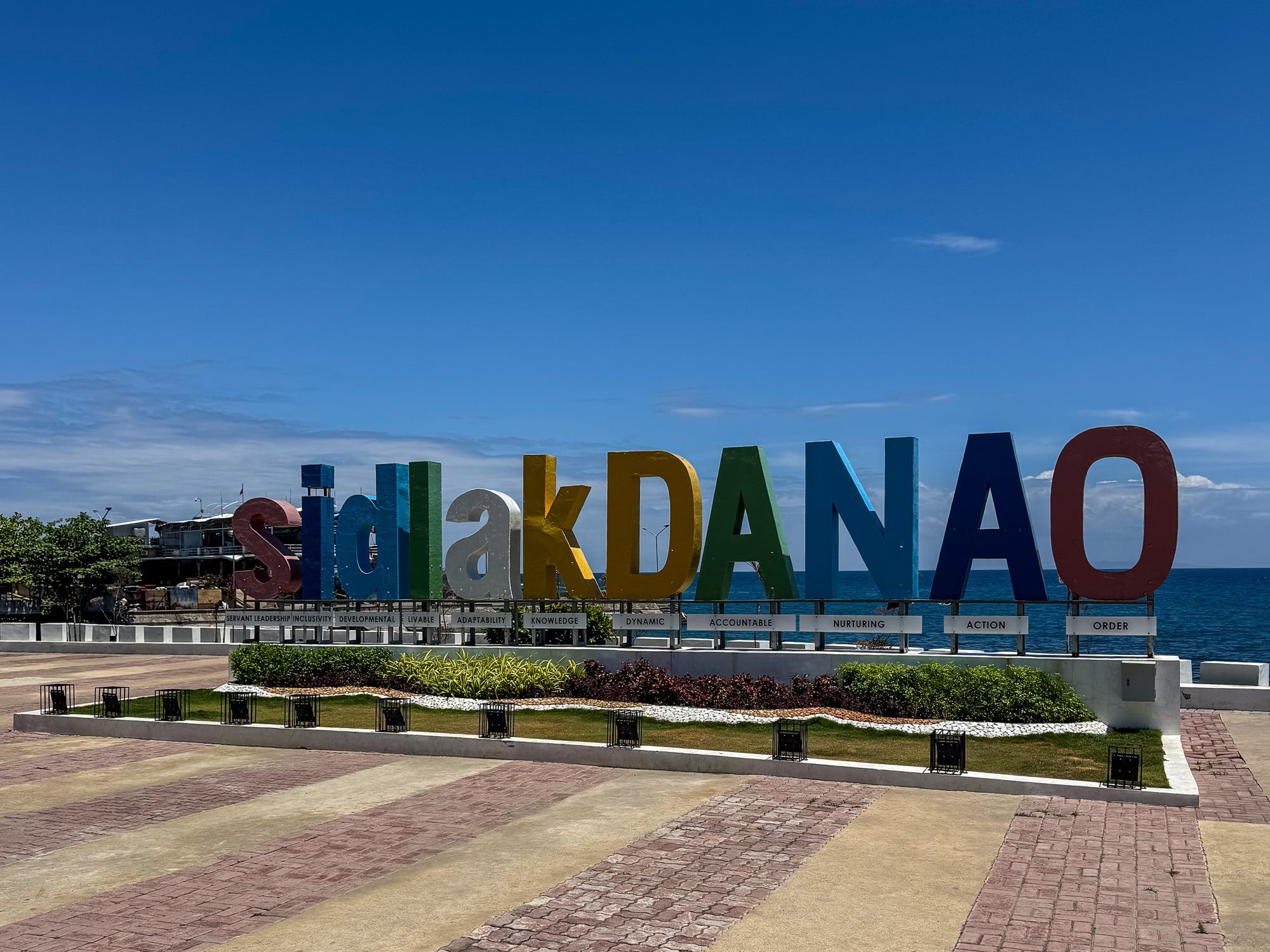
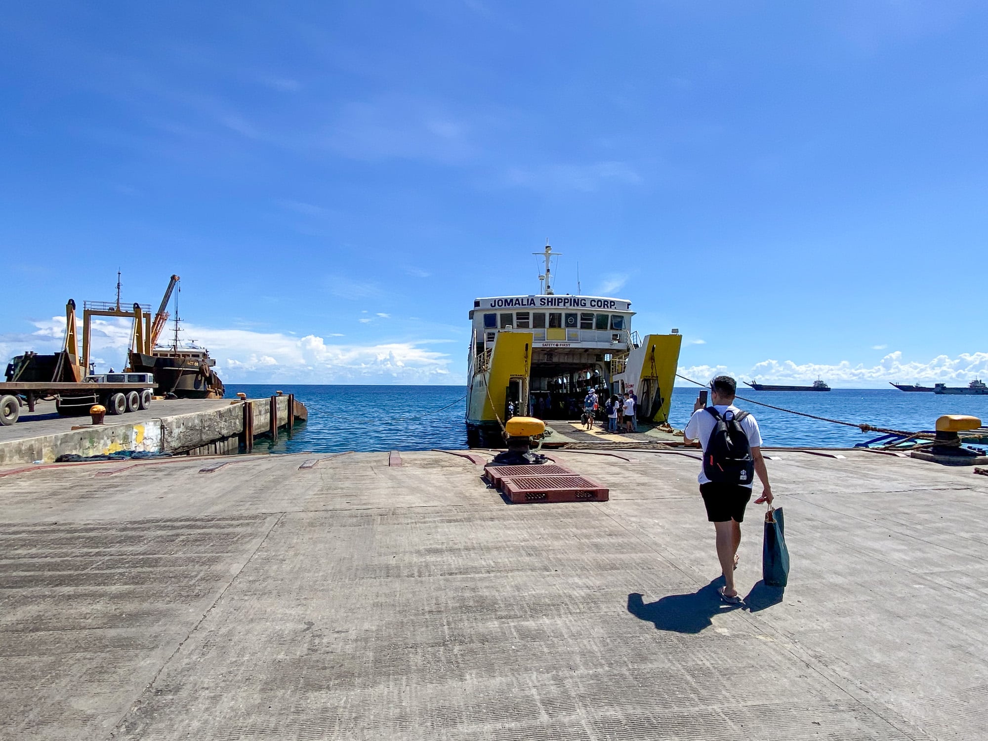
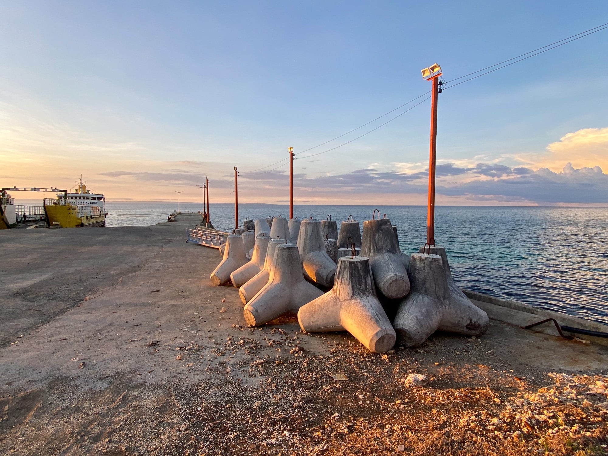
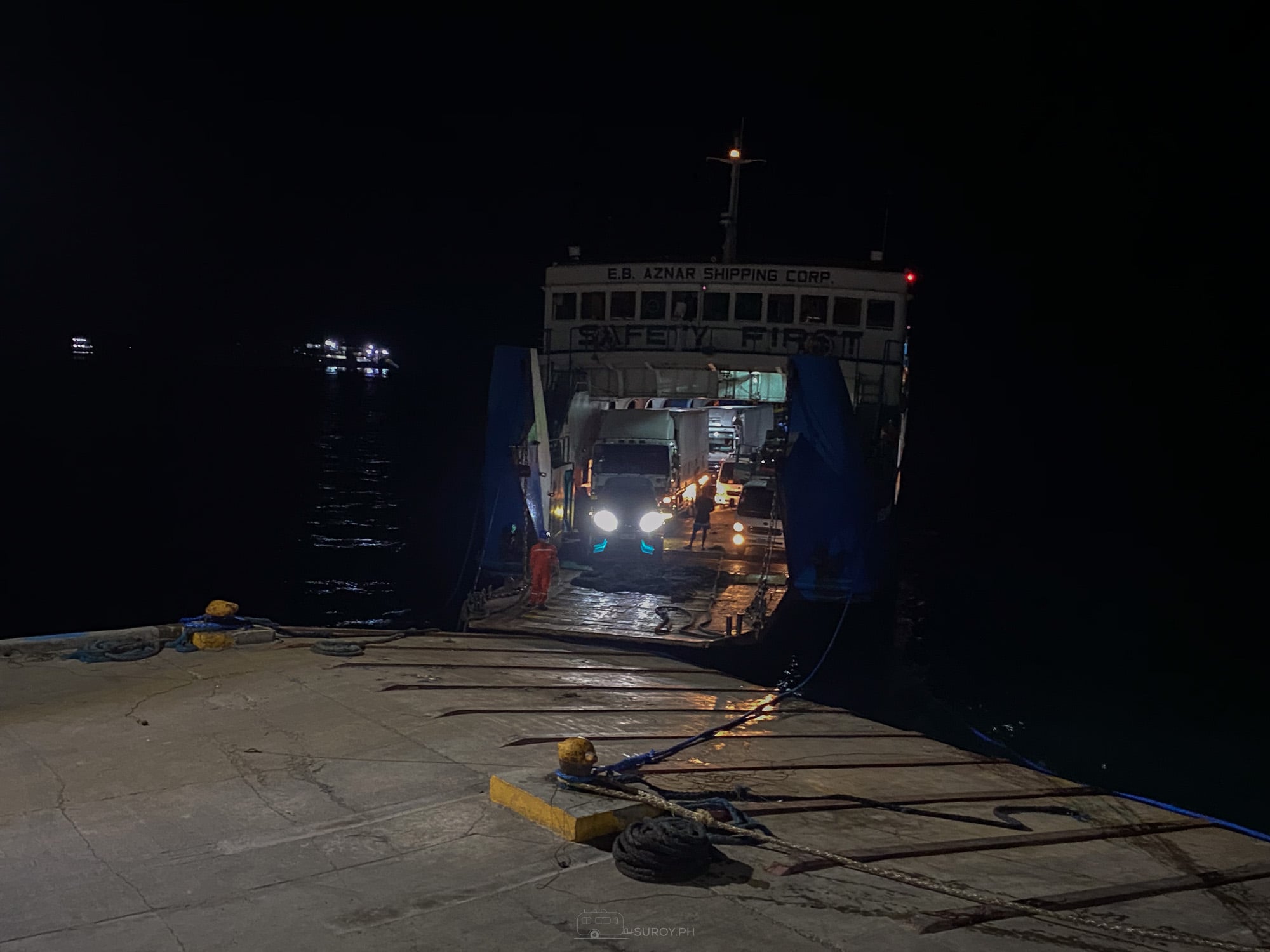
Two operators run this route, Jomalia Shipping and E.B. Aznar Shipping. Jomalia’s published schedule is four sailings a day in each direction, departing 05:30, 08:30, 14:30 and 17:30 from both Danao and Consuelo. The crossing takes two to two and a half hours. Ask at the pier for the full day, because the boat you board is whichever operator is loading.
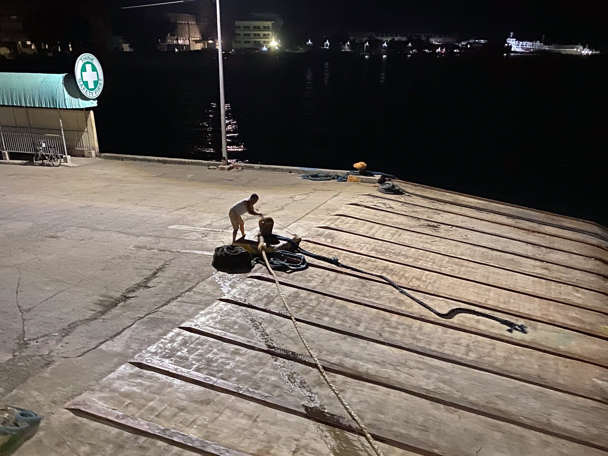
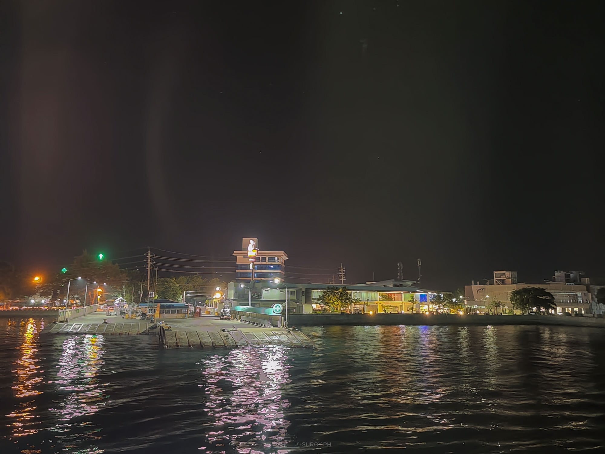
Pier to pier, budget three hours, not two. Suroy.ph timed this crossing on 13 December 2020: the Consuelo pier at 17:11, the Danao apron at 20:21. The crossing itself is the two and a half hours above. The rest is boarding, and that is the part the schedule leaves out. Danao pier sits at 10.5203° N, 124.0306° E, Consuelo at 10.6369° N, 124.2978° E.
On the fare, we are going to give you a range rather than a number, because the number has moved. Across the last ten months the economy adult fare has run from ₱250 to ₱520, with a mid-2026 listing at ₱360 economy and ₱400 aircon. Fuel surcharges can push the live fare above the listed one. Bring ₱600 per person and be pleasantly surprised. Checked September 2026.
Discounted categories exist for children, students, seniors and PWDs, at up to the statutory 20 percent.
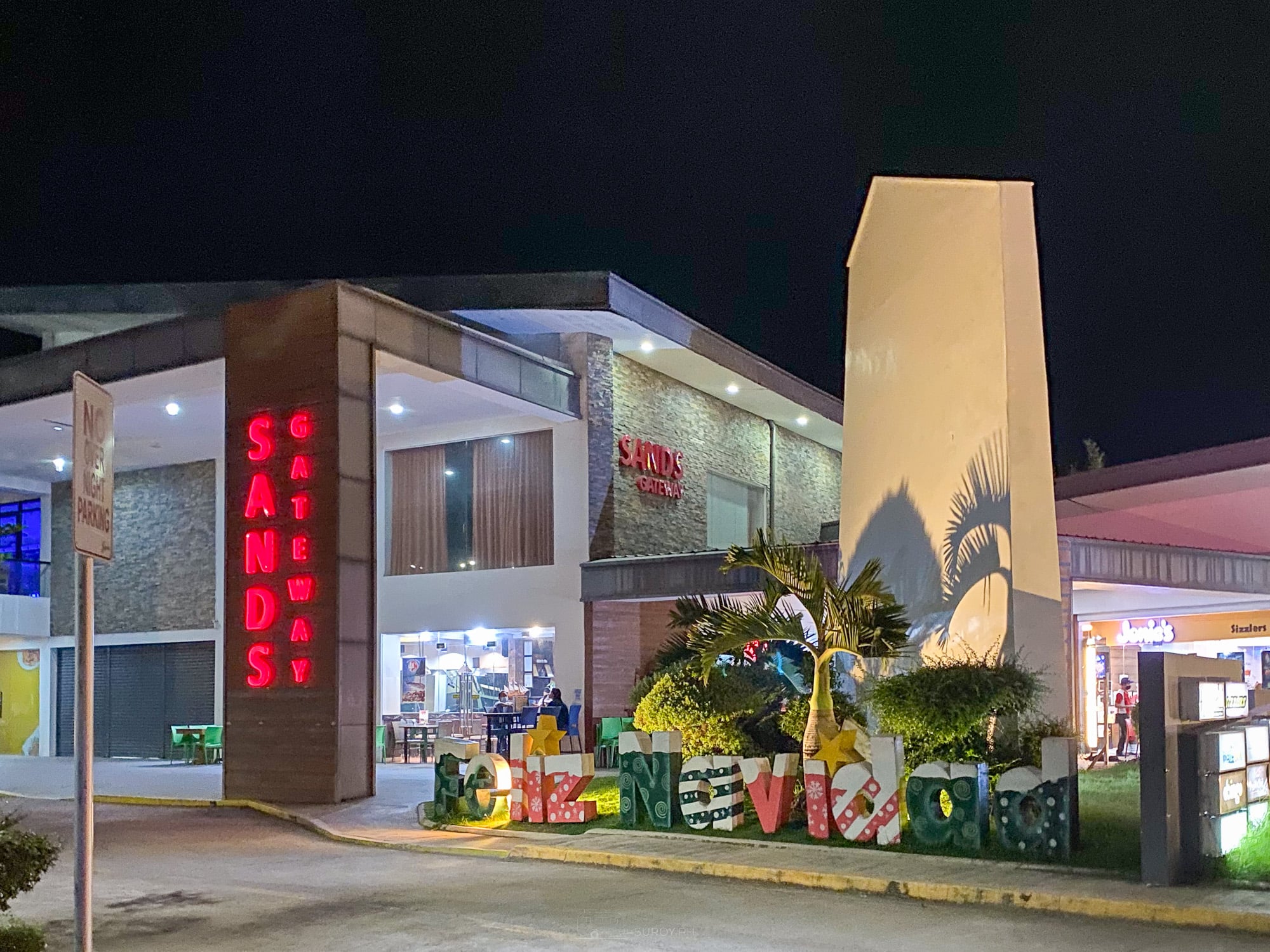
The pier is right beside Sands Gateway. Useful twice over. It is the landmark to give a driver, because everyone in Danao knows the mall and not everyone knows which gate the Camotes boat uses. And on the 14:30 and 17:30 sailings it is where you wait, eat and charge a phone instead of standing on the apron.
From Mactan there is a faster option: 08:00 and 12:00 out, 10:00 and 16:00 back, about an hour and a half, ₱500 to ₱650. If you are coming from the airport side of the city rather than the north, that saves the drive to Danao entirely.
Bringing a vehicle. Jomalia publishes no tariff. Small vehicles run ₱1,800 to ₱2,500 one way with passengers charged separately, quoted at the terminal on the day. Terminal fees are referenced by everyone and stated by nobody. Our RoRo vehicle guide covers the paperwork.
Getting around once you land
You land at Consuelo on Pacijan. The three main islands, Pacijan, Poro and Ponson, are linked well enough that a scooter handles the lot.
- Scooter or motorbike, ₱350 to ₱600 a day. Fuel ₱60 to ₱80 a litre.
- Habal-habal: ₱50 to ₱100 for a short in-town hop, ₱200 to ₱400 for something like the port to Lake Danao.
- Tricycle: ₱20 to ₱50 per person short hop, ₱500 to ₱800 chartered for sightseeing.
- Multicab or van, full day charter, ₱1,500 to ₱2,500. This is the sensible move for a group of four or more.
No island-wide arrival environmental fee is published by the San Francisco, Poro or Tudela LGUs. The fees you pay are at the sites themselves.
The caves, and the tide
Bukilat Cave, Tudela, Poro Island
This is the one with an actual municipal position on it, which makes it the one to trust.
The Municipality of Tudela states that the pools inside vary with the ocean tide, and that at high tide the water reaches shoulder depth and is suitable for swimming. It also gives the best visiting window as 09:00 to 15:00.
Third-party accounts agree: come at high tide when the water has risen enough to get in, and at low tide you are looking at a shallow tidal pool.
Entrance is reported between ₱20 and ₱50. The LGU publishes no figure. Local guides are available through municipal registration and bookings can go through the municipal virtual desk.
The cave is a chamber with openings in the roof, so the light comes down in shafts onto the water. Mid-morning, high tide, is the combination. That is a narrower window than people expect and it is why some visitors leave disappointed.
Paraiso Cave, San Francisco, Pacijan Island
Same rule, less documentation. Shallow at low tide, chest-deep and clearest at high tide, and the water is deeper than it looks.
Entrance is reported at ₱50 to ₱100, higher than Bukilat because the cave sits inside a private resort. The San Francisco municipal site publishes no fees and no hours for it at all.
How to actually find the tide
No official tide station is published for Camotes, Poro, Tudela or Danao. PAGASA’s tide pages have moved and its station list is not currently reachable.
The primary source is NAMRIA, the national mapping and resource information authority, which publishes the annual Philippine Tide and Current Tables covering around 320 locations plus tidal currents at 37 straits and passages. The free and useful version for a traveller is NAMRIA’s PH Tides app, on iOS and Android. Download it before you go, because signal on the islands is patchy and the whole trip hangs on this one number.
Third-party forecast sites carry Poro and Camotes stations if you prefer a browser.
Everything else on the islands
Reported fees, September 2026. None of these is LGU-published, so carry small notes and expect variance.
- Lake Danao: entrance ₱50 to ₱120. Boat ₱150 to ₱300 per half hour. Zipline ₱250, kayak ₱50, paddle boat ₱60, horseback ₱50. Pool ₱100 adult, ₱50 child.
- Timubo Cave: around ₱70 adult and ₱25 child plus a ₱5 environmental fee, though ₱60 and ₱20 are also reported.
- Buho Rock, Poro: ₱20 adult, ₱10 child.
- Santiago Bay: beach access free. The rock formations are reachable on a higher tide.
- Mangodlong Rock: ₱20, free for resort guests.
- Tulang Diot: boat ₱30 to ₱50 per person one way, or around ₱40 return, plus a ₱10 environmental fee.
Opening hours are not published for any of them.
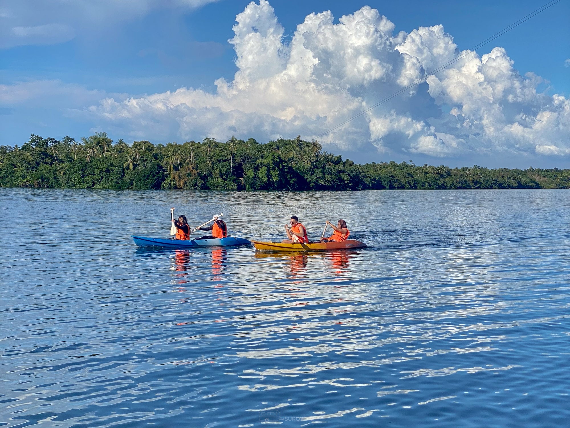
A two night plan that works
Day one. The 05:30 or 08:30 from Danao. Land, collect a scooter, eat, and spend the afternoon at Santiago Bay or Mangodlong on the Pacijan side. Check the tide table for tomorrow.
Day two. Build the day around high tide. If high water lands mid-morning, Bukilat on Poro first and Paraiso in the afternoon. If it lands late, reverse it and put Lake Danao in the morning instead.
Day three. Timubo or Tulang Diot, then the 14:30 back to Danao.
One night is possible and puts your entire trip at the mercy of a single tide. Two nights gives you two shots at it.
Our full Camotes island guide covers where to stay and what else is out there, and the Cebu trip budget calculator will price the whole thing.
Should you visit Bukilat Cave at high tide or low tide?
High tide. The Municipality of Tudela states that at high tide the water inside reaches shoulder depth and is suitable for swimming, and gives 09:00 to 15:00 as the best visiting window. At low tide it is a shallow pool. Paraiso Cave follows the same rule.
What time does the ferry leave Danao for Camotes?
Jomalia Shipping departs Danao at 05:30, 08:30, 14:30 and 17:30, with the same times returning from Consuelo. The crossing takes two to two and a half hours. From Mactan the sailings are 08:00 and 12:00, taking about an hour and a half.
How much is the ferry to Camotes?
Published figures range from ₱250 to ₱520 for an economy adult across the past ten months, with a mid-2026 listing at ₱360 economy and ₱400 aircon. Fuel surcharges can push the live fare above the listed one. Budget ₱600 per person.
Where can you check tide times for Camotes?
NAMRIA’s free PH Tides app for iOS and Android is the primary source, alongside the annual Philippine Tide and Current Tables. No official tide station is published specifically for Camotes, Poro or Tudela. Download the app before you travel, because signal on the islands is patchy.
Suroy Wear

Cebu has islands of its own.
Camotes belongs to Cebu, two hours off its own east coast. The Cebu Coordinates Tee carries the province that owns them. ₱999.