Newsletter Subscribe
Enter your email address below and subscribe to our newsletter


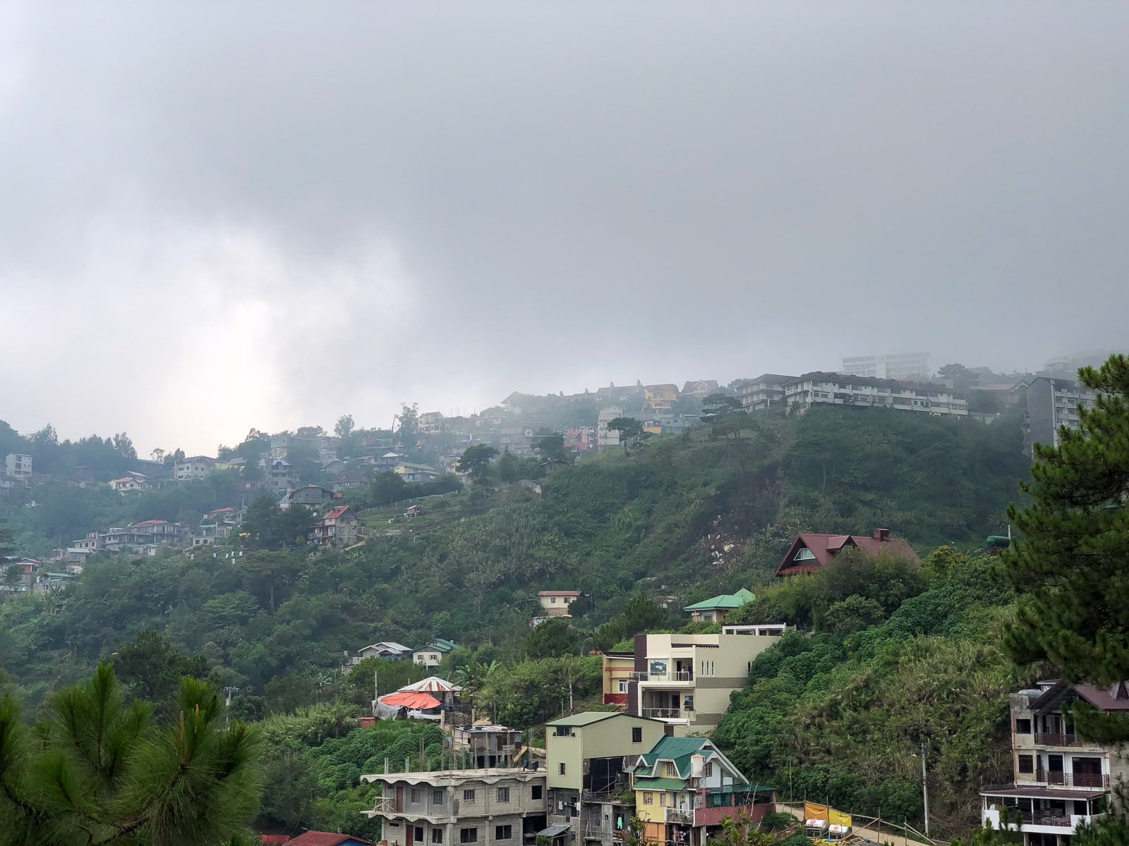
Baguio is compact on a map, but hills, traffic and fast-changing weather reward a smarter plan. This guide helps you choose the right base, reach the city, move between attraction zones and use three days well.
The best first Baguio trip is three days and two nights, based near Session Road or Burnham Park, with no private car needed. That choice puts the city center within walking distance and turns taxis or jeepneys into short connectors instead of all-day traffic plans. Stay near Camp John Hay only if quiet mornings matter more than easy access to the market, museums and evening streets.
This Baguio travel guide starts with the choices that save the most time. Pick the right base, group stops by side of the city and leave one part of each day flexible. Hills, one-way streets, festival crowds and sudden rain can stretch a short map distance.
CORDILLERA ADMINISTRATIVE REGION · BAGUIO CITY · PRACTICAL GUIDE
16.40° N, 120.60° E · About 1,540 meters above sea level
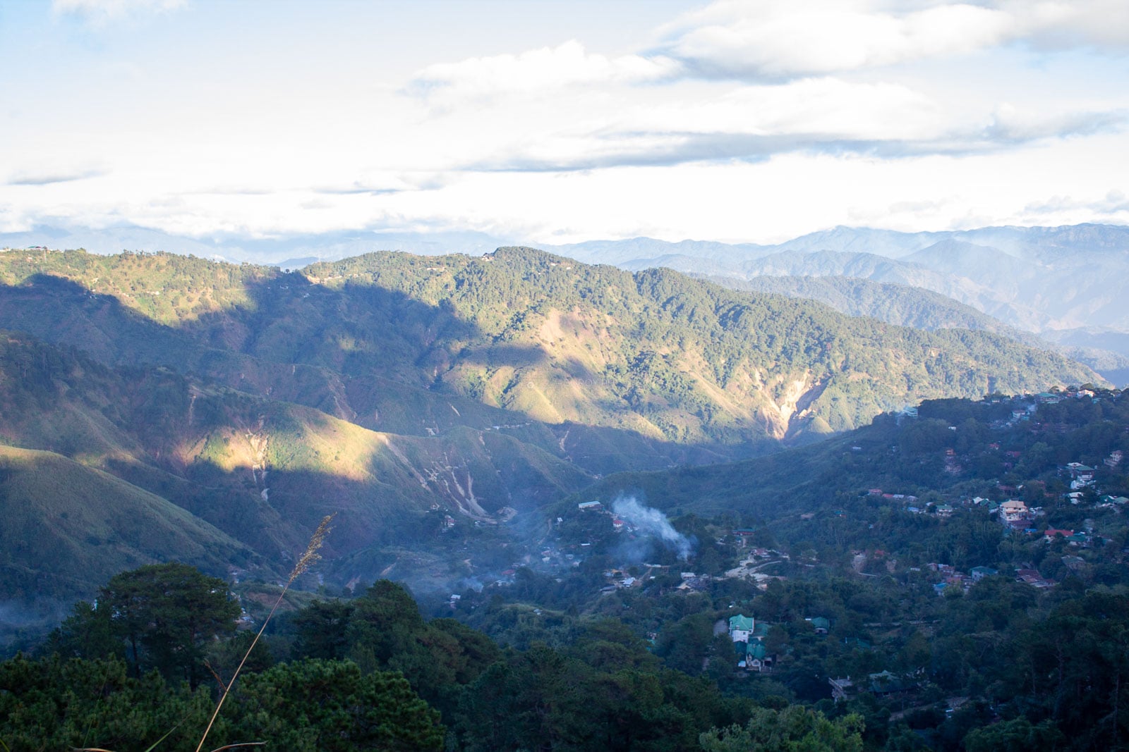
The address matters more than the hotel label. A property can market itself as a Baguio stay while sitting far enough from the center to add repeated taxi rides, steep walks or weekend traffic. Check the exact pin before paying.
This is the most practical first-timer base. Burnham Park, the public market, Session Road, Baguio Cathedral and the Governor Pack bus terminal sit within one central zone. You can begin the day on foot, return to the room between stops and take a taxi only for the eastern attractions or Camp John Hay.
The trade-off is noise. Rooms facing a major road can hear traffic, and the slopes around Session Road are real. Ask about lift access if stairs are difficult, and check the walking route rather than trusting the distance alone.
Legarda and Kisad work well for families and groups that want more room while staying close to Burnham Park. The area has many hotels, restaurants and vehicle access points. It is less convenient for an effortless Session Road walk, and traffic can build around junctions, but it remains a sensible middle ground.
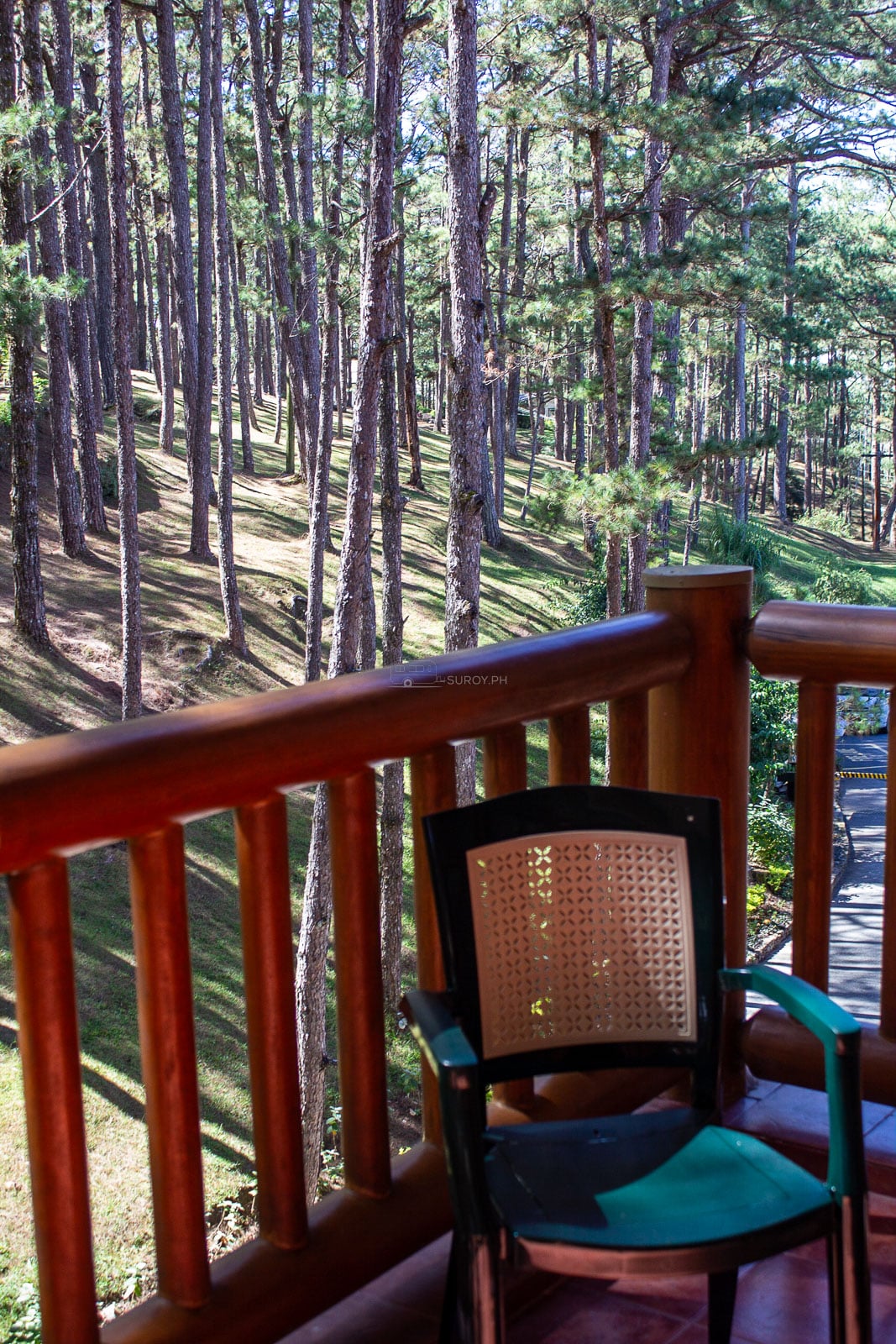
Choose this side for pine trees, quieter evenings and resort-style stays. It suits travelers with a car, families happy to use taxis and anyone who would rather wake beside trails than shops. The room rate is only part of the cost. Add transport for every market, museum and city-center meal.
This eastern corridor places you closer to Botanical Garden, Wright Park, The Mansion and Mines View. It is useful for a short attraction-heavy trip, but less convenient for late nights around Session Road. Taxis simplify the route, especially after dark or in rain.
La Trinidad is in Benguet, not Baguio City. A lower room price there may suit travelers whose priority is the Strawberry Farm or northern Benguet, but the daily approach to central Baguio can erase the saving in time and transport. For a first city break, stay in Baguio and visit La Trinidad as a half-day extension.
A direct bus is the simplest option for most travelers. Genesis lists Baguio routes from Avenida, Cubao and Pasay, while Victory Liner sells Baguio trips through its own booking system. Choose the terminal closest to your actual starting point, not the departure that looks shortest on paper. Crossing Metro Manila at rush hour can cost more time than a later bus nearby.
Treat the transfer as half a day. Expressway traffic, a comfort stop and the final climb all affect arrival. Reserve early for Friday evenings, long weekends, December holidays and Panagbenga season. An overnight service can save daylight, but an early arrival creates another problem: your room may not be ready. Confirm luggage storage or early check-in before traveling.
Use the operator’s official booking page for the current departure and fare. JoyBus, the premium Genesis service, published a schedule dated 25 June 2026 and explicitly warns that times can change. Victory Liner also reserves the right to change schedules. Book through the operator’s current page because departures and fares can change.
Clark is a useful gateway for travelers who can fly there directly. Clark International Airport’s transport guide lists a Genesis point-to-point connection between the airport and Baguio. Confirm the current departure with the operator before booking a tight flight-to-bus connection, and leave enough time for baggage collection and any service change.
Plan the trip through Manila or Clark unless an airline is actively selling a Baguio ticket for your exact date. Philippine Airlines’ published domestic timetable for 29 March to 24 October 2026 does not list Baguio. A flight search page is not proof that a route is operating, so verify the airport code and final destination before paying.
For the least stressful connection, spend the first night in Manila or Clark, then travel north in the morning. If you connect on the same day, keep a generous buffer. The return deserves the same care: do not schedule a Baguio bus to arrive only a few hours before an expensive flight.
A car gives families and larger groups flexibility, but it also brings parking, coding and mountain-road decisions. Choose the route from the latest DPWH-CAR advisory, not an old scenic-drive post.
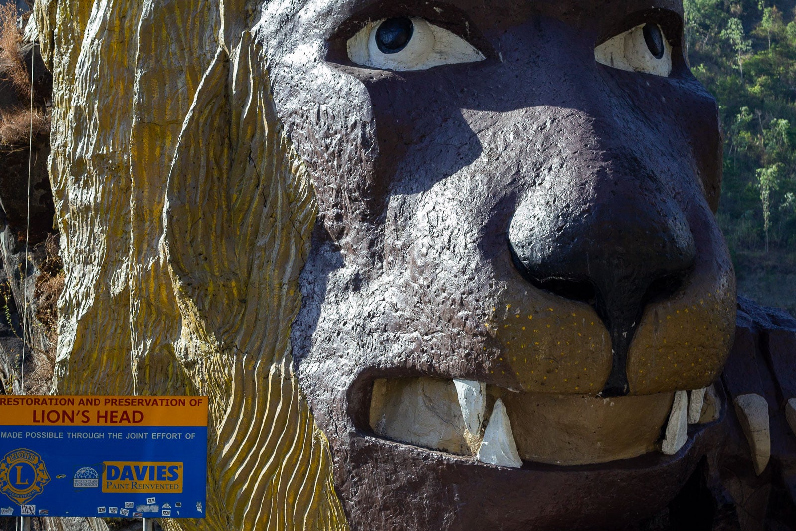
Kennon Road access can change after heavy rain. Check the latest DPWH-CAR advisory on the morning you leave and use only the route authorities declare passable.
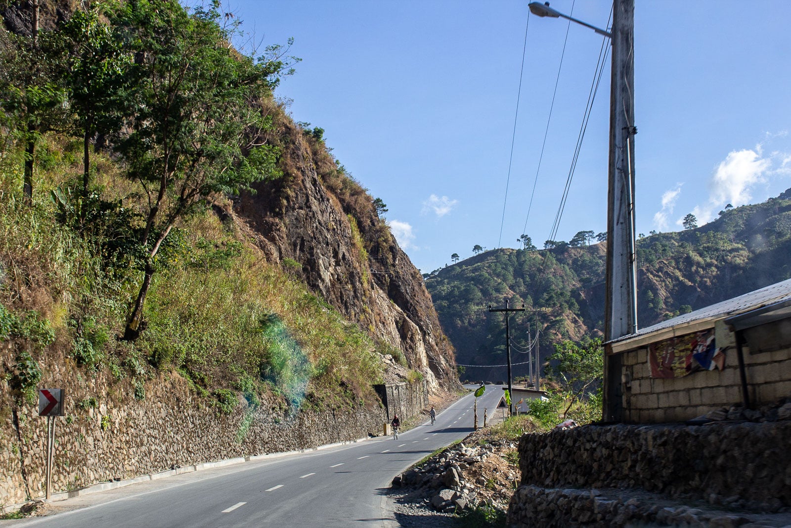
When passable, Aspiras-Palispis Highway, widely called Marcos Highway, is the common alternative to Kennon Road. Build extra time into any wet-season drive, refuel before the climb and avoid pushing through a landslide warning simply because the hotel is already paid.
Baguio’s official VISITA portal says number coding is active from 7:00 AM to 7:00 PM, including holidays, and tourists are not exempt. The weekday plate endings are:
Check the official coding-zone map because the restriction is geographic, not a ban on moving anywhere in the wider region. A central hotel with parking does not cancel the rule. If your plate is coded, plan a walking day or leave the car parked and use public transport.
Baguio is compact enough for a car-free trip, but not flat enough to call completely walkable. Use three modes: walk within the center, take taxis between attraction clusters and use jeepneys when the route is clear.
The time-saving rule is simple: do not zigzag. Put the eastern sights on one route, Camp John Hay on another and the city center on foot. A cheap attraction on the opposite side of town can become the most expensive stop once traffic and waiting are counted.
Baguio is cooler than the lowlands, but the useful question is not simply, “Is it cold?” The city has cool mornings, mild afternoons, sharp rain and damp rooms. Layers work better than one heavy jacket.
PAGASA’s 1991 to 2020 climate normals for its Baguio station put the January average minimum at 13.0°C and average maximum at 23.1°C. August is very different: the station records a normal 963.2 millimeters of rain and 25 rainy days. That amount of rain can change road safety as well as sightseeing.
The damp is where the name comes from. Bagiw is the Ibaloi word for moss, and colonial spelling turned it into Baguio, over an Ibaloi settlement called Kafagway. We put the word on a tee, the Bagiw Tee, because moss is the most honest forecast this city has.
December to April is the broad lower-rain window. January is one of the coolest months. February brings Panagbenga activity and higher demand. April can be busy during school breaks and Holy Week. July and August need the most flexible schedule, waterproofing and road checks. For a wider look at wet-season decisions, read the Suroy.ph guide to what habagat changes in August travel.
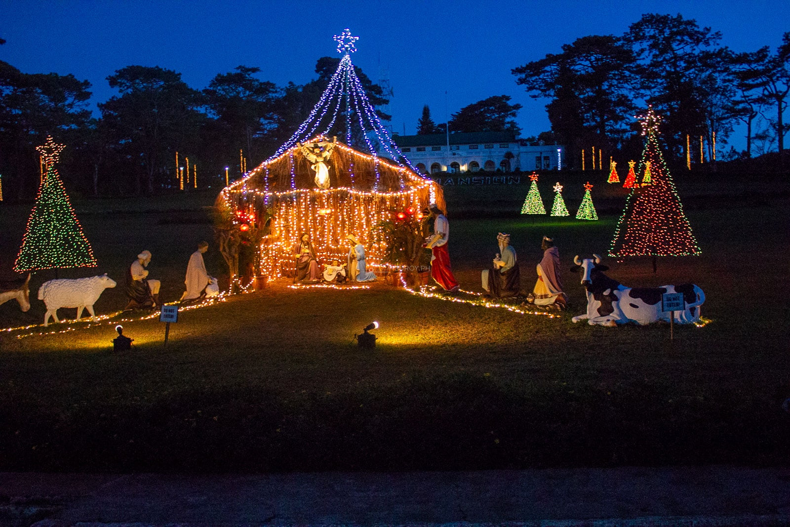
Christmas displays are seasonal, not permanent attractions. Check the current city calendar and treat any installation you find as a timely bonus.
Start with Burnham Park, then move through the public market and Session Road. Baguio Cathedral sits above the commercial core and works naturally in the same walk. The market deserves time for coffee, vegetables, woven goods and pasalubong, but it is also a working public market. Keep aisles clear, ask before photographing vendors and carry small bills.
The night market can extend this route if it is operating, but do not build the entire evening around an old timetable. Confirm the current setup locally, secure phones and wallets in the crowd and agree on a meeting point if the group separates.
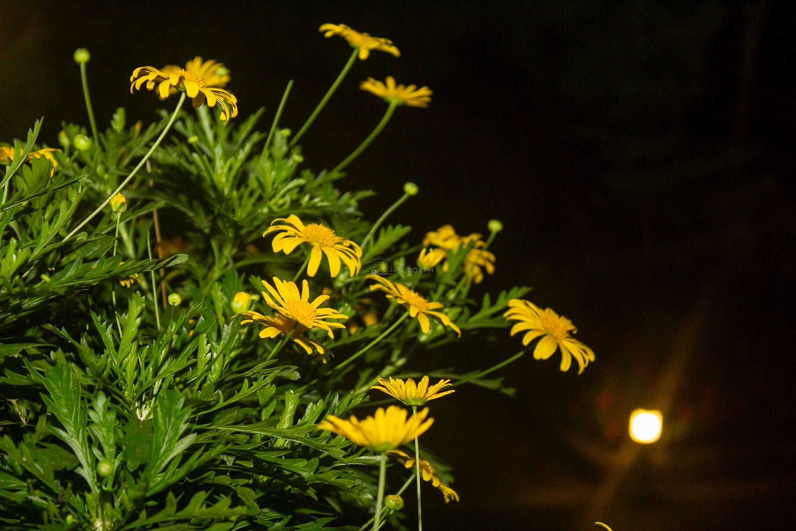
Group Baguio Botanical Garden, Wright Park, the public-facing side of The Mansion and Mines View Park into one half-day or easy full day. They sit on the same broad side of the city, but traffic and queues can still slow the order. Go early, choose the two stops that matter most and treat the rest as optional.
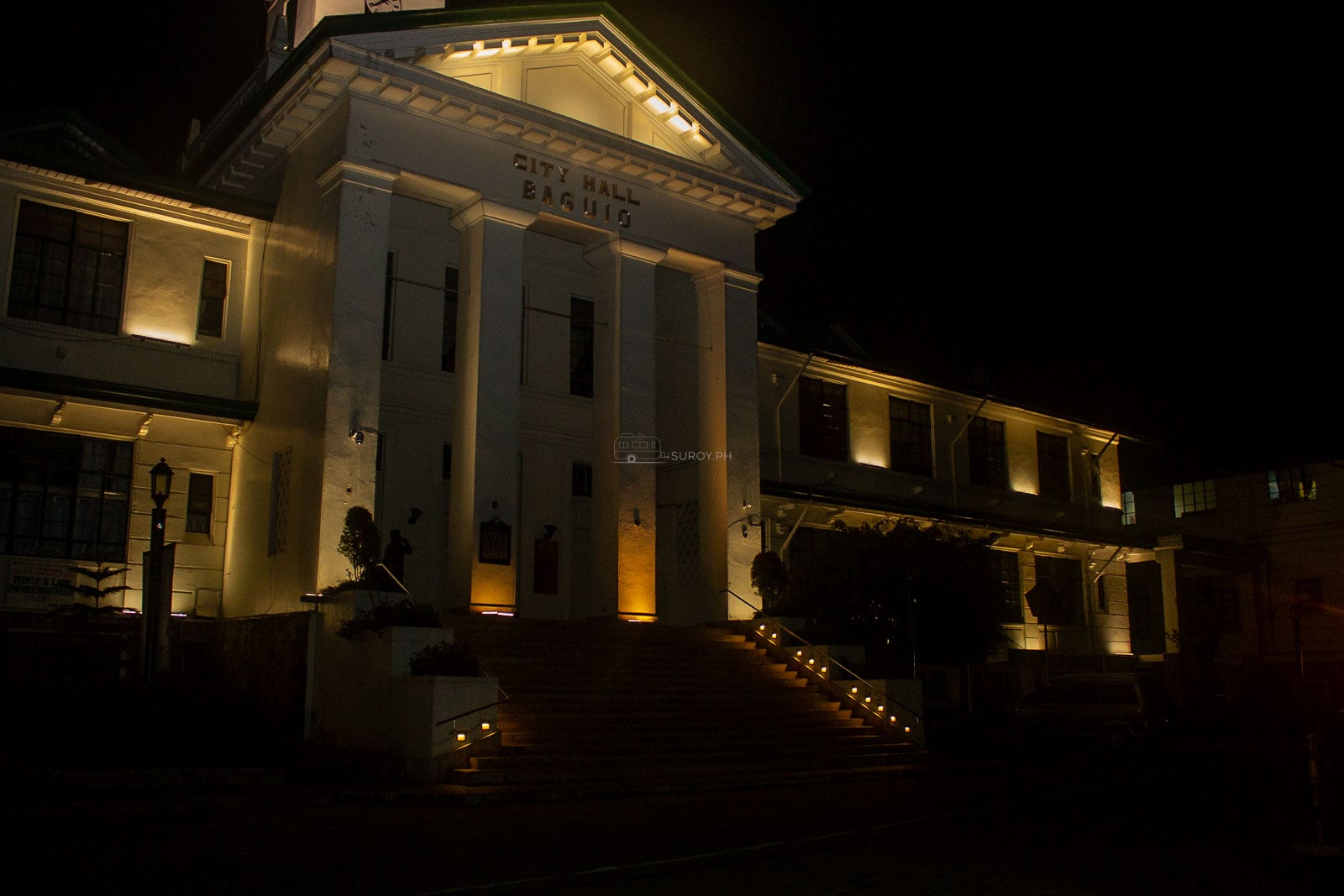
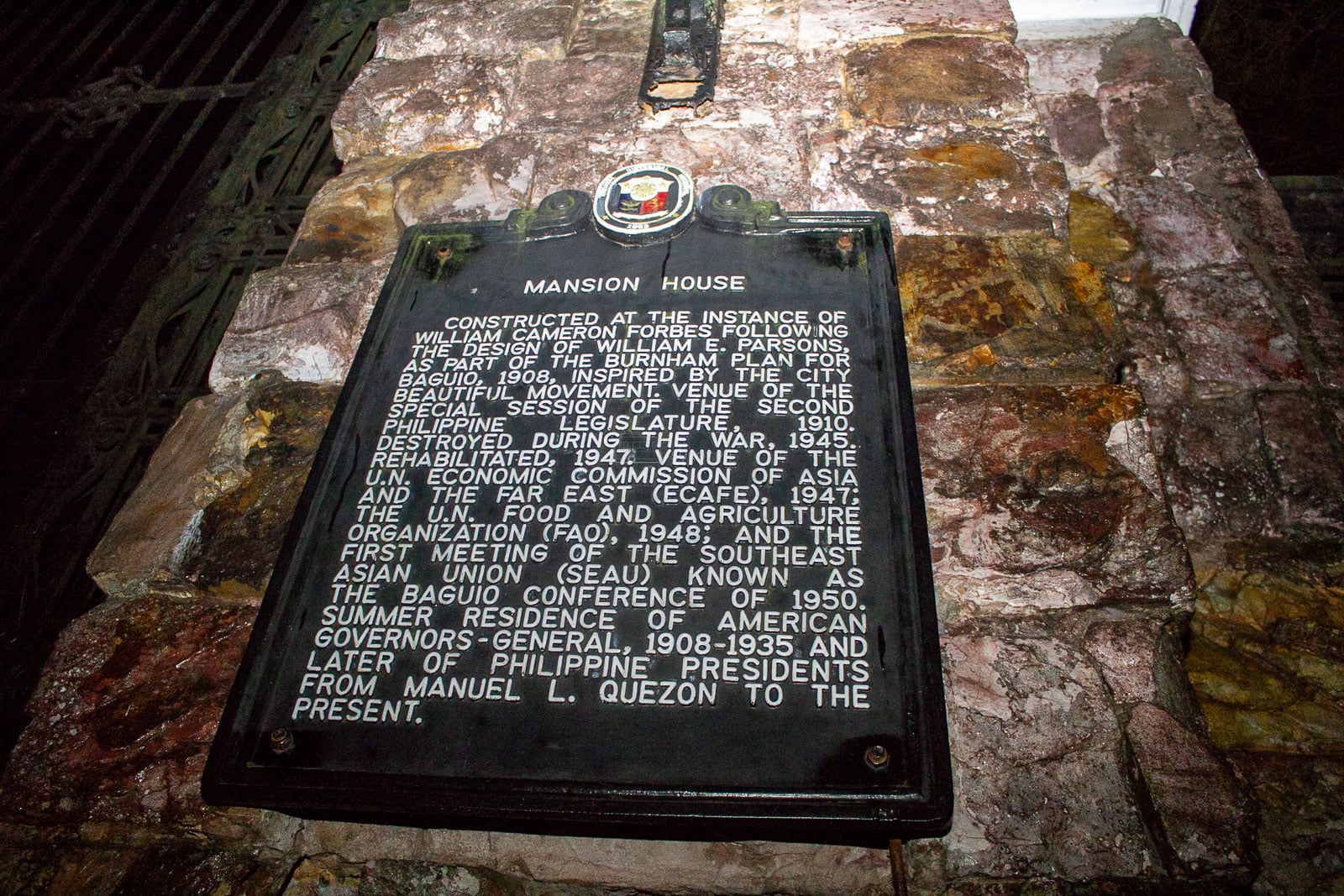
Check current entry, operating hours and any restoration work before departure. The city was still reporting park rehabilitation projects in June 2026, so a familiar landmark can have altered access even when the wider park remains open.
Camp John Hay is best treated as a separate block, not a quick detour between five other stops. Choose a pine walk, a historical site or a long meal. Some facilities are privately managed and charge their own fees, so confirm access before crossing the city. The point here is space and pace, not collecting every signboard.
Baguio has been a UNESCO Creative City of Crafts and Folk Art since 2017. Make room for work by living artists and artisans, not only scenic parks. Baguio Museum, Tam-awan Village, Ili-Likha, galleries and craft spaces each offer a different entry point. The Suroy.ph Cordillera Heritage and Art Hub walk guide can extend this route without turning the practical city guide into another arts list.
Cordillera cultures are living and diverse. “Igorot” is a broad collective term, not one costume or one language. Buy directly from makers when possible, ask before taking close portraits and do not treat ceremonial objects as photo props.
The Strawberry Farm is in La Trinidad, Benguet. Combine it with other stops in the same direction instead of squeezing it between central Baguio and Camp John Hay. Strawberry picking is seasonal, supply varies and the farm remains an agricultural space. Ask what is available that day and follow the growers’ instructions.
Baguio can also be a staging point for a longer Cordillera journey, but Banaue and Sagada are not casual add-ons to a three-day city break. Each needs its own road time and weather buffer. Start a separate plan with the Suroy.ph Banaue Rice Terraces guide, then verify the current onward transport before committing.
Check in or leave bags, then begin at Burnham Park. Walk to the public market before the late-afternoon crowd, continue up Session Road and visit the cathedral if services allow respectful entry. Have dinner in the center. Add the night market only if energy, weather and the current setup all cooperate.
This day is deliberately light. A long bus ride followed by an ambitious attraction circuit produces more waiting than enjoyment. Learning the central streets first also makes the next two days easier.
Leave early and choose two eastern stops: Botanical Garden, the Wright Park and The Mansion area, or Mines View if the weather is clear. Have lunch on that side of the city, then give the afternoon to Camp John Hay. Return to the center after the commuter rush if possible.
If rain becomes persistent, cut the viewpoints first. Keep the garden only if paths are safe, then move to a museum, gallery, covered craft space or long lunch. Do not race across town trying to rescue every outdoor stop.
Art route: Give the morning to a museum or the Cordillera Heritage and Art Hub, add one independent creative space, then return for coffee and a final market stop. This is the better choice in mixed weather.
Benguet route: Leave early for La Trinidad and return with a generous margin before the bus home. Do not add this half-day if your departure is tightly timed or the mountain-road advisory is poor.
With a fourth day, separate Camp John Hay from the eastern loop or give the arts route a full day. The extra night changes the trip more than adding six rushed attractions.
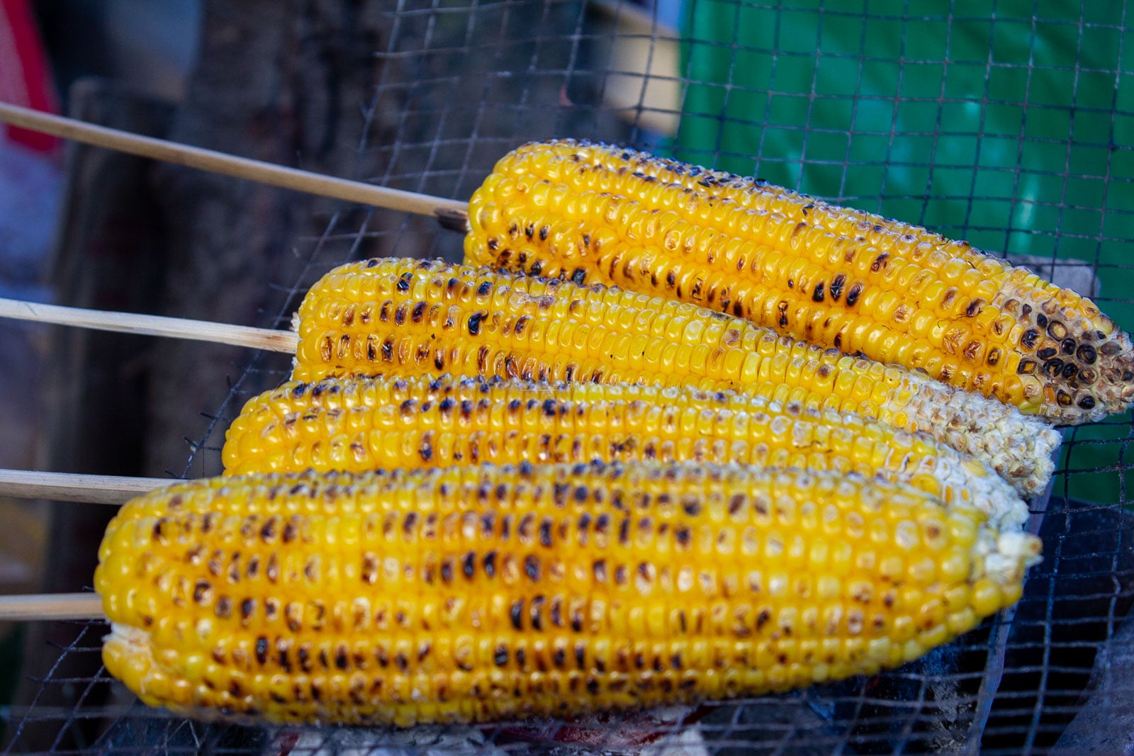
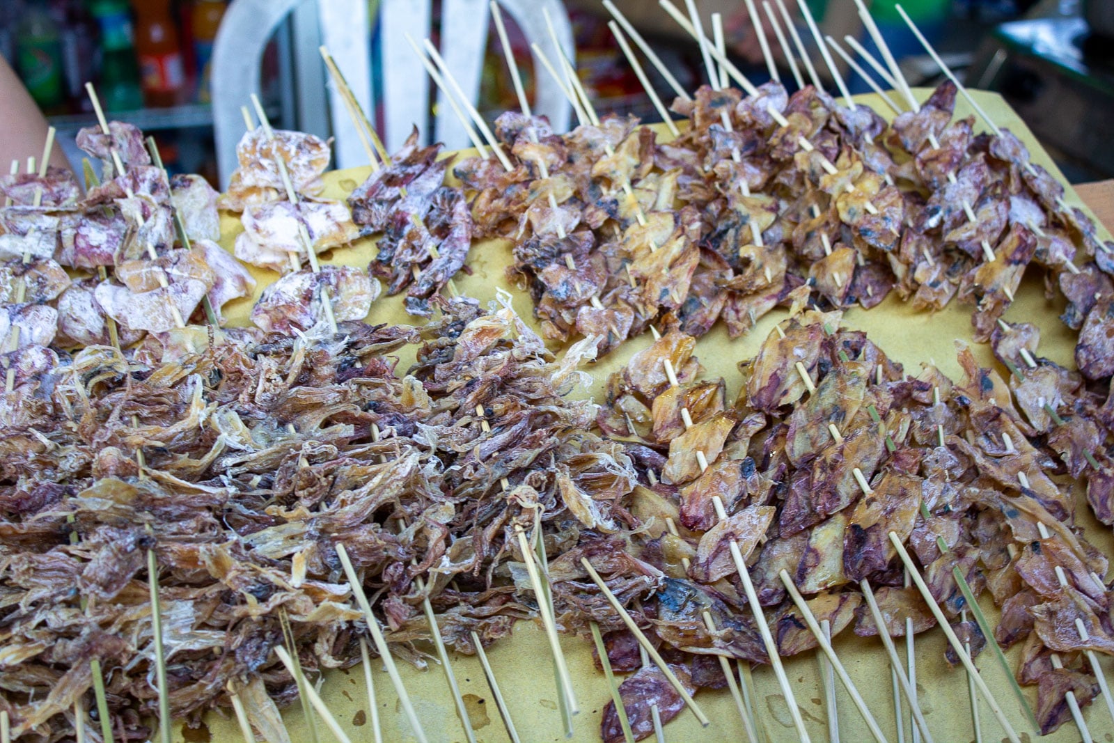
Baguio’s table reflects the wider Cordillera as well as the city’s student, migrant and market communities. Look for mountain rice, highland vegetables, local coffee and dishes identified by their community or regional origin. Ask restaurant staff about ingredients and preparation, especially if you have dietary restrictions.
Popular take-home items include strawberry preserves, peanut brittle, ube products, coffee, woven goods, silverwork and woodcraft. Compare labels and maker information, not only price. A product made in the Cordillera supports a different supply chain from a generic souvenir printed elsewhere.
Carry some cash for jeepneys, market purchases and small establishments. Cards and mobile payments are common in malls and larger businesses, but they are not universal. The broader Philippine travel planning guide has useful reminders on connectivity, payments and packing beyond Baguio.
A Baguio budget has four parts: the long transfer, accommodation, local transport and meals or admissions. The room location can move every other category. A cheaper stay far from the center may require several taxi rides a day. A slightly higher central rate can buy back hours and reduce the need for a car.
Check current prices at the point of booking. Keep a separate weather buffer for one extra meal, changed transport or an unplanned night. During the wettest months, that reserve is part of the trip, not wasted money.
Baguio’s parks and watersheds carry the pressure of a growing urban center and heavy visitor use. In June 2026, the city environment office cited recurring littering, vandalism, overcrowding and damage to landscaped areas. The useful response is practical:
A scenic viewpoint is not improved by a horse, costume or artisan being treated as a prop. Pay fairly, follow posted rules and leave enough space for residents using the same road, market or park.
December to April is the broad lower-rain window. Choose January for cooler mornings, February for Panagbenga atmosphere with crowds, or March and early April for generally lower rain before the wettest part of the year. Climate normals describe patterns, not a guarantee for your dates.
It is possible, but it is a poor use of the transfer. The road time can exceed the time available in the city, and a weather or traffic delay can break the schedule. Stay at least one night.
Use the City Government’s official Baguio VISITA portal for accredited accommodation, attraction listings, city announcements and the coding map. Check PAGASA for weather, DPWH-CAR for roads and the bus or airline directly for the service you booked. Old pandemic-era checklists and old fare tables should not control a 2026 trip.

The city works best when the plan is built around place, not volume. Stay where the first day can happen on foot. Group the east, the center and Camp John Hay instead of crossing between them. Let weather remove a viewpoint without removing the whole day.
Three well-shaped days give Baguio enough space to be a mountain city, a market city and a creative city at once. The last decision is the easiest one: check the road and weather again before leaving home.