Newsletter Subscribe
Enter your email address below and subscribe to our newsletter


 Bysparksph
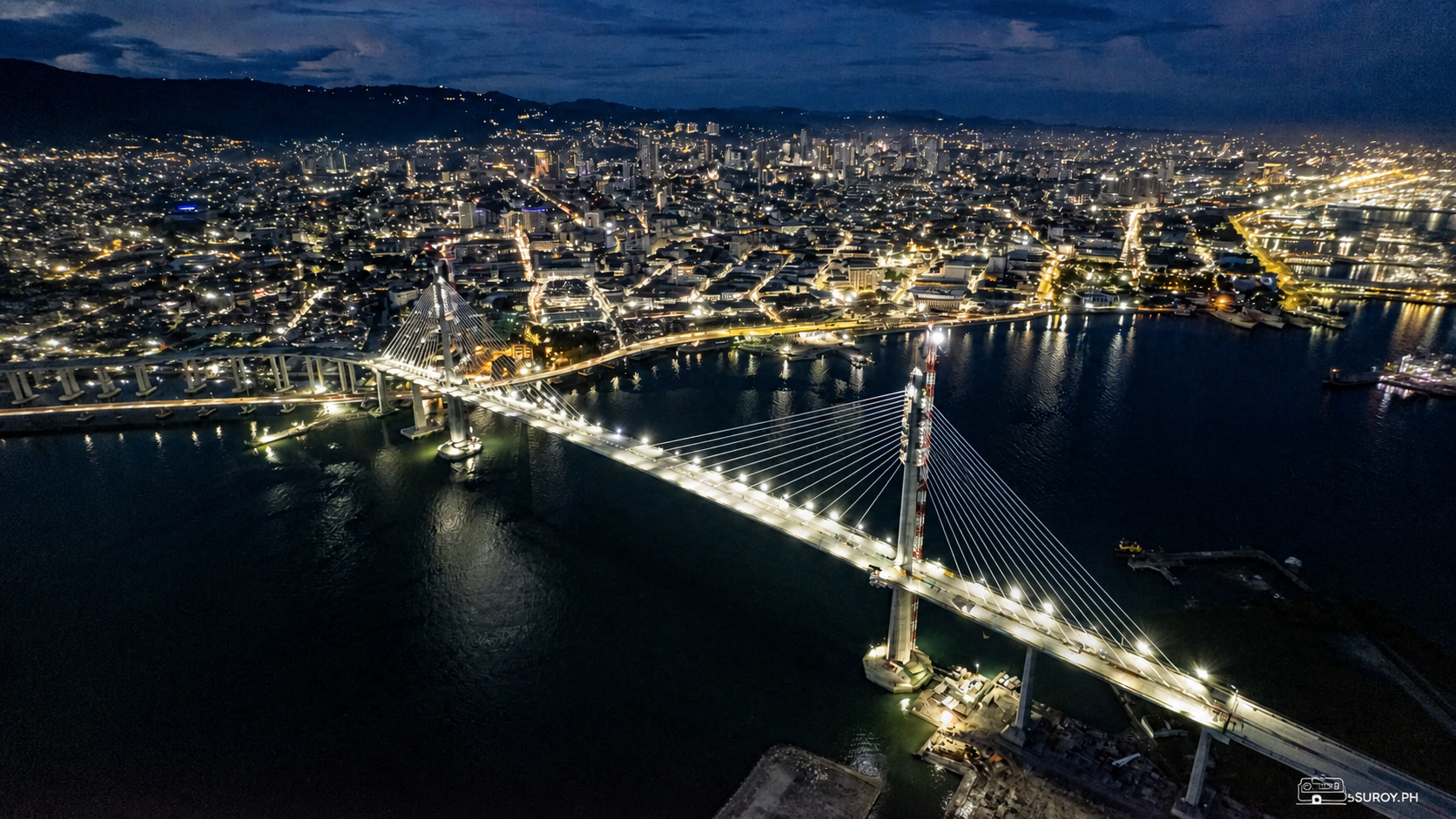
IRONMAN 70.3 Lapu-Lapu 2026 links Mactan Newtown Beach, Cordova, CCLEX and Cebu City's SRP in a 113-kilometer race on August 9.
Early on August 9, Cebu’s half-distance triathlon will begin at Mactan Newtown Beach and send athletes across Mactan, Cordova, CCLEX and the South Road Properties.
IRONMAN 70.3 Lapu-Lapu 2026 takes place on Sunday, August 9, with a 1.9-kilometer ocean swim, a 90-kilometer bike course and a 21.1-kilometer run. Together, the three legs cover 113 kilometers, or 70.3 miles, with the start and finish centered at The Mactan Newtown in Lapu-Lapu City.
The race turns a familiar Cebu map into one continuous sporting route. Athletes enter the water off Mactan, ride through Lapu-Lapu and Cordova, cross the Cebu-Cordova Link Expressway toward Cebu City’s South Road Properties, then return to Mactan for three running loops along Punta Engaño Road.
The published event schedule lists the Sunrise Sprint start at 5:40 AM, the first expected IRONMAN 70.3 finisher at about 10:10 AM, the final race cutoff at 3:12 PM and the awards ceremony at 4:00 PM. These times remain subject to organizer changes.
The number in the race name refers to the total distance in miles. A 1.2-mile swim, 56-mile bike ride and 13.1-mile half marathon add up to 70.3 miles. In metric terms, that is 1.9 kilometers in the water, 90 kilometers on the bike and 21.1 kilometers on foot.
That distance is what makes the Cebu course legible even to someone who is not racing. It connects beach, island roads, bridge and city waterfront in a single morning, showing how closely Mactan, Cordova and Cebu City now sit within the same travel corridor.
The 1.9-kilometer swim is a single clockwise loop that starts and ends at Mactan Newtown Beach. The official course map sends athletes away from shore, through two long parallel sections and back toward the transition area.
If the organizer opens a public viewing area near the swim start, this is where the event first takes shape. Athletes enter the water in the early morning, and access around the transition and finish areas will be controlled. Follow marshals, stay outside marked lanes and leave enough space for competitors moving between the beach and their bikes.
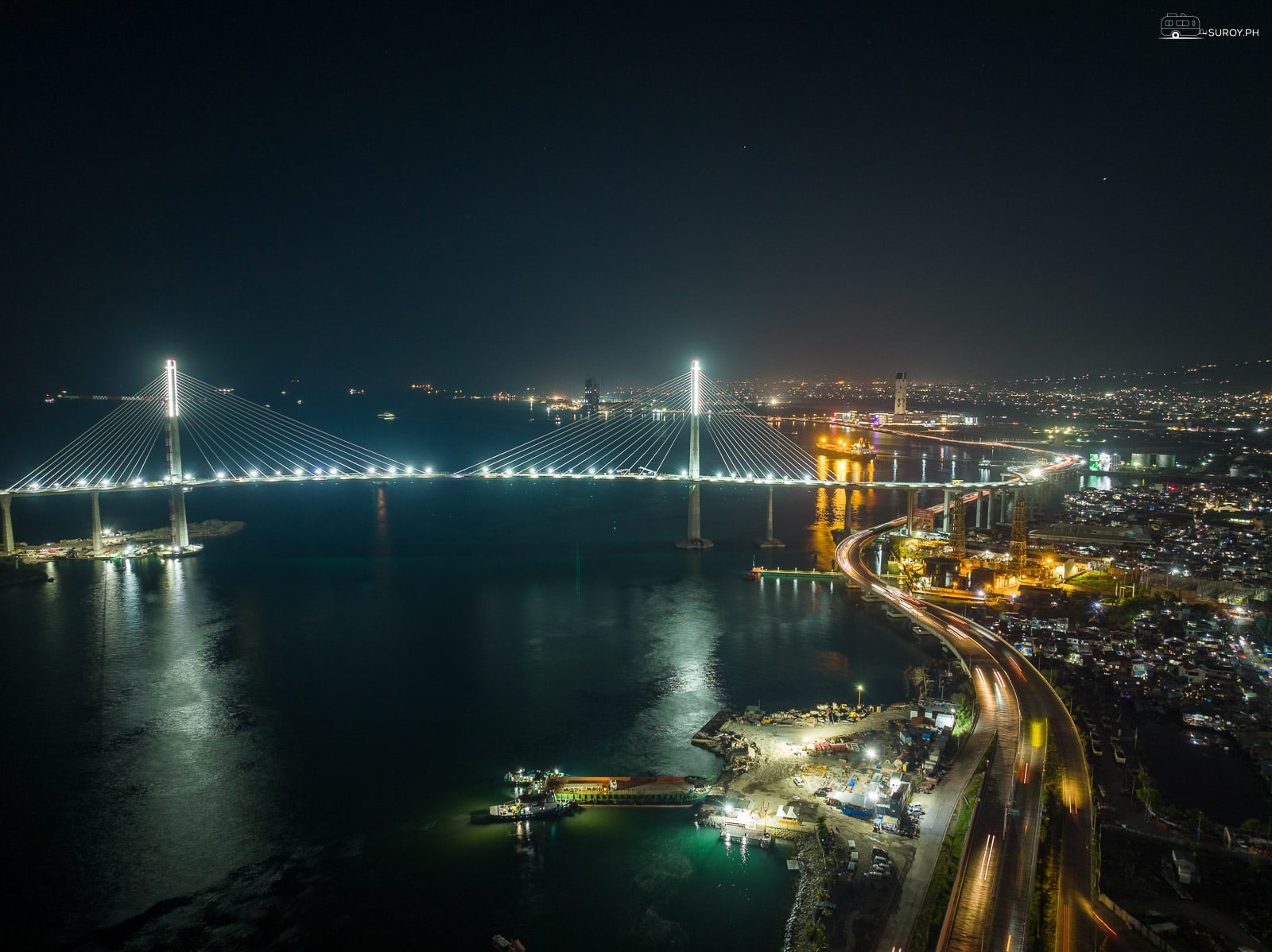
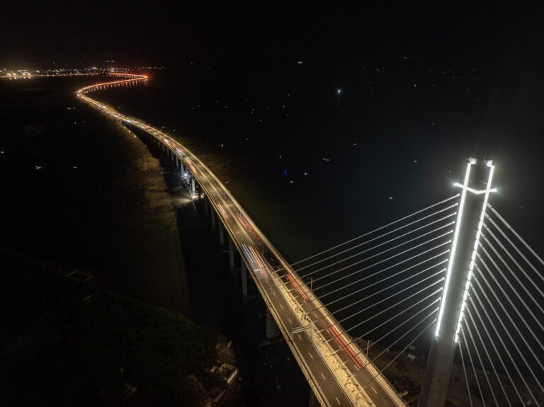
The 90-kilometer bike leg is the race’s broadest view of Metro Cebu. From Mactan Newtown, riders travel through Lapu-Lapu City and the southern side of Mactan, enter Cordova and cross CCLEX. The three-loop route includes turnarounds on Cebu City’s South Road Properties before athletes leave the bridge at about kilometer 77 and return to Mactan.
The official course page describes the 90-kilometer bike route as fully closed to traffic. The closure affects major island roads, bridge approaches and the SRP corridor. Travelers with a morning flight, hotel transfer or intercity trip should add a generous buffer and ask their hotel or driver to confirm the latest access conditions before departure.
As of our August 9 check, the organizer’s 2026 schedule and course pages do not provide a full city-by-city road-closure timetable. Do not rely on an older race-week advisory. Check the official IRONMAN Lapu-Lapu channels and current city traffic notices before setting out.
After the long ride, athletes complete a 21.1-kilometer run over three loops. The official route follows Punta Engaño Road, with turns near Amisa and Punta Engaño, before the final approach to Newtown Boulevard.
The compact finish keeps the final run close to Mactan Newtown. If organizer-designated public viewing areas are open, a spectator may be able to follow more than one part of the race without trying to chase competitors across the bridge. Respect barriers and cross only where event staff directs, especially near transition, aid stations and the finishing chute.
CCLEX is part of the competition route, not an informal viewing platform. Any bridge access will depend on race operations and security controls. The safest choice is to remain in an official public area and watch the bridge segment through organizer coverage if no designated spectator zone is open.
The finish places visitors close to one of Cebu’s most important historic areas. Once traffic has normalized, the Mactan Shrine offers a grounded follow-up to the race, with the Lapulapu Monument and Magellan Monument marking the site associated with the Battle of Mactan.

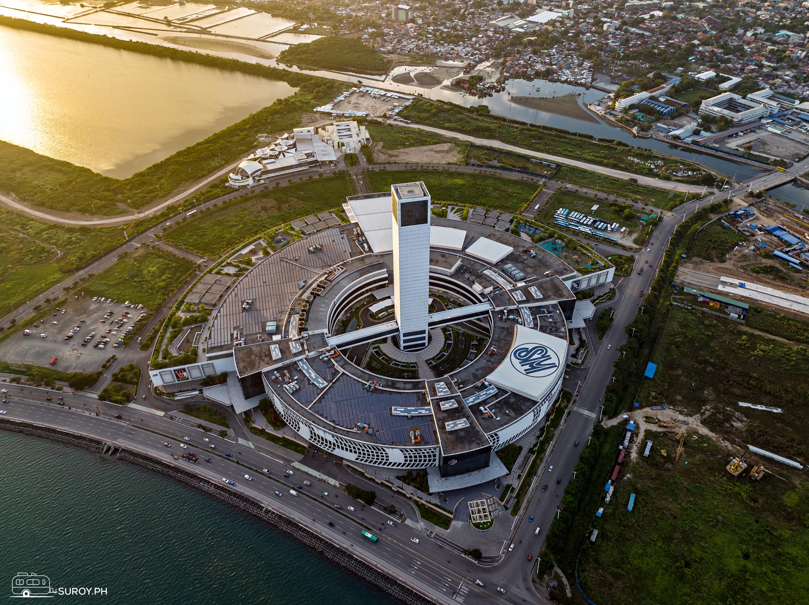
Travelers staying longer can also explore Cebu City’s waterfront after the SRP roads reopen. Suroy.ph’s guide to SM Seaside at the South Road Properties gives more context to the urban stretch riders see from the course.
The race is scheduled for Sunday, August 9, 2026. The pro men start at 6:20 AM, pro women at 6:25 AM, and age-group and relay athletes begin their rolling start at 6:30 AM.
The total distance is 70.3 miles, or about 113 kilometers: a 1.9-kilometer swim, 90-kilometer bike ride and 21.1-kilometer run.
The swim begins and ends at Mactan Newtown Beach. The finish is on Newtown Boulevard within The Mactan Newtown in Lapu-Lapu City.
Yes. The official 90-kilometer course travels from Mactan through Cordova and across CCLEX to turnarounds on the South Road Properties before returning to Lapu-Lapu City.
Details were checked at 1:45 AM Philippine time on August 9, 2026. The official schedule was last updated on February 10, 2026, and course maps are subject to change. Confirm current access and timing through the organizer before leaving.